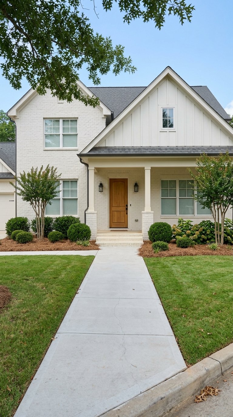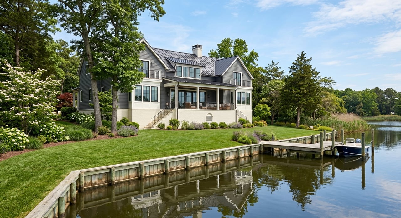
You imagine coffee on the porch as the sun hits the Cape Fear, or a quick boat ride to dinner after work. Buying waterfront or riverfront in Wilmington can deliver that lifestyle, but the details matter. Elevation, insurance, docks, and permits all affect your costs, access, and long‑term value.
In this guide, you’ll learn how to read flood maps, price insurance accurately, verify dock rights, and spot red flags before you write an offer. You’ll also see how different Wilmington waterfront areas compare and what to put in your due diligence checklist. Let’s dive in.
Why Wilmington waterfront is unique
Wilmington sits in a low coastal plain along the Cape Fear River, with barrier islands, tidal creeks, and estuarine marshes nearby. These features create stunning views and access, but they also bring tidal flooding and storm surge exposure.
Local tide records show increasing nuisance and storm‑related tidal flooding over time. You can review trends at the NOAA tide station for Wilmington. Planning ahead for higher water during the life of your ownership helps you make better choices about elevation, maintenance, and insurance.
County and city programs participate in floodplain management, which ties into building rules and mitigation plans. If you are evaluating a specific property, the New Hanover County Floodplain Management office is a good local resource for context.
Start with flood maps and elevation
Your first step is to run the exact property address in the FEMA Flood Map Service Center. This shows the mapped flood zone and the Base Flood Elevation. Zones like AE or VE indicate Special Flood Hazard Areas where lenders may require flood insurance.
Ask the seller for an Elevation Certificate. It records the first finished‑floor height relative to the Base Flood Elevation and is essential for accurate insurance pricing and lender requirements. If one is not available, plan to order a survey with an Elevation Certificate during your due diligence period.
What to ask for up front
- A FIRMette or map panel printout from FEMA for the property.
- The current Elevation Certificate, or the seller’s agreement to allow a new survey.
- All permits and records for docks, piers, bulkheads, or dredging. Many of these require review by the state’s coastal program. Start with the NC Division of Coastal Management’s CAMA permits page.
Budget insurance early
Lenders require flood insurance if a home is in a mapped Special Flood Hazard Area. Even outside those zones, many waterfront buyers choose a policy for extra protection. Because prices vary widely, get quotes early.
FEMA’s Risk Rating 2.0 changed how the National Flood Insurance Program prices policies. It looks at property‑specific factors like distance to water, first‑floor height, and structure characteristics. Two houses in the same zone can have very different premiums. Review FEMA’s overview of Risk Rating 2.0 to understand why quotes can differ, and plan to get both an NFIP and a private‑market quote. See FEMA’s summary here: Risk Rating 2.0 report.
For windstorm and hurricane coverage, some coastal homes may need the state’s markets of last resort. Learn about the North Carolina FAIR Plan and Beach Plan through the NCJUA and NCIUA.
Know the rules for docks and shorelines
Water access is a major part of value, so confirm that any pier, dock, boat lift, or shoreline structure is properly permitted and recorded.
- Most coastal projects, including docks, walkways, and bulkheads, fall under North Carolina’s Coastal Area Management Act. Start your records search and questions with the state coastal program: CAMA permits.
- Many projects also require federal authorization from the U.S. Army Corps of Engineers. You can review public notices and permit actions on the Wilmington District’s regulatory pages: USACE Wilmington District permits.
- Siting and size rules are detailed in the North Carolina Administrative Code. If you are planning changes, check the state rules for notice requirements and restrictions: Coastal Management rules.
- A recent statutory change, effective October 25, 2024, modified certain requirements for pier replacement and related permits. Ask whether any work was done under the new or older rules, then confirm with the state. See Session Law 2024‑53.
Riparian rights and maintenance
Riparian and littoral rights usually allow reasonable water access, but these rights are regulated and can be shared. Verify who owns or maintains the dock, whether there are recorded easements, and if there is a maintenance agreement for any bulkhead or seawall. In planned communities, confirm HOA rules and how costs are shared for docks, canals, or shoreline structures.
Neighborhood types and what to expect
Wilmington’s waterfront breaks into a few common segments. Each offers a different mix of exposure, access, and cost.
- Oceanfront and barrier islands. Think Wrightsville Beach, Carolina Beach, and Kure Beach. Expect higher wind, wave, and erosion exposure, often in Coastal High Hazard zones. Insurance and maintenance can be higher, and building rules are tighter in these areas.
- Sound, Intracoastal Waterway, and estuarine fronts. Areas like Masonboro Sound and parts of Porters Neck and Landfall offer tidal access with lower open‑ocean wave energy. Depths and alongshore navigation can vary. Shared docks or community facilities are common, and permits are frequently part of ownership.
- Riverfront along the Cape Fear. Downtown and river‑adjacent neighborhoods bring views and access near an active navigation channel. Consider ship traffic, wakes, and planned harbor projects. For context on channel maintenance and port activity, check the Port of Wilmington.
- Planned and club communities with waterfront parcels. Communities like RiverLights, Landfall, or Porters Neck often manage shared docks, private canals, or bulkheads. Review CC&Rs for docking guidelines, short‑term rental rules, and who pays for dredging or repair.
Your due diligence game plan
Use this step‑by‑step list to keep your offer clean and your costs predictable.
Pre‑offer checks:
- Run the address in the FEMA Map Service Center and save the FIRMette.
- Ask for the Elevation Certificate. If none exists, plan to order one during due diligence.
- Request copies of all shoreline and dock permits, including any dredging or bulkhead approvals. Start with state records through CAMA permits and confirm whether federal authorization was needed through the USACE Wilmington District.
- Get at least one NFIP quote and one private flood quote. Review Risk Rating 2.0 to understand pricing factors.
Under‑contract items:
- Licensed survey showing boundaries, relevant tidal datums, and encroachments. Include an Elevation Certificate if not already provided.
- Full home inspection with attention to moisture, electrical, foundation, and any pilings.
- Structural review of any bulkhead, seawall, and dock. Confirm permit compliance and maintenance history.
- Title review that addresses riparian or littoral rights, recorded easements to docks, and any shared‑use agreements.
- If in a community, collect HOA documents and any schedules for dredging or shoreline maintenance assessments.
Smart questions to ask the seller or listing agent
- Do you have an Elevation Certificate, or will you allow a new survey so I can get accurate insurance quotes?
- Has the property ever had a flood insurance claim, and what repairs were completed with permits?
- Who owns and maintains the dock, bulkhead, or seawall, and is there a recorded maintenance agreement?
- Are there any planned port or navigation projects nearby that could affect access or insurance costs?
Red flags to watch
- The property is in or near a mapped flood zone, and no Elevation Certificate is available.
- A dock or bulkhead is present, but the seller cannot provide permit records or a maintenance history.
- Evidence of repeated flood or wind damage without complete documentation of repairs and permits.
- The lot is adjacent to active industrial or channel areas where wakes, noise, or future expansions could affect enjoyment and value.
Offer timeline that works
- Before the offer. Pull the FEMA map, request permits and the Elevation Certificate, and get preliminary insurance pricing. If wind coverage looks limited, review options with the NCJUA and NCIUA.
- Offer with protections. Include contingencies for survey and Elevation Certificate, permit and title review for docks and shoreline structures, septic or sewer verification, and evidence of insurability.
Make your move with confidence
Waterfront buys reward the prepared. When you confirm flood risk, price insurance correctly, and verify access and permits, you protect your budget and time on the water.
If you are ready to explore Wilmington’s waterfront, connect with a team that handles complex and luxury coastal purchases with care. Reach out to Angela Drum for a tailored plan, local insights, and buyer representation that puts your goals first.
FAQs
How do I check a Wilmington home’s flood zone and elevation?
- Use the FEMA Map Service Center to find the mapped zone and Base Flood Elevation, then request or order an Elevation Certificate for accurate insurance pricing.
What affects my flood insurance price under Risk Rating 2.0?
- FEMA considers property‑specific factors such as first‑floor height, distance to water, structure characteristics, and flood frequency, so get both NFIP and private quotes.
Do I need permits for a new dock or to replace a pier in Wilmington?
- Most projects require state review under CAMA, and some also need USACE authorization; recent changes in Session Law 2024‑53 affect certain pier replacements.
Who maintains a seawall or bulkhead if my lot has one?
- Maintenance varies by property, so verify permit records, recorded maintenance agreements, and any HOA obligations during due diligence.
Are there special insurance options for coastal wind coverage?
- If a standard insurer will not write a policy, North Carolina’s FAIR Plan and Beach Plan through the NCJUA and NCIUA serve as markets of last resort.